On Real Estate & More – September 2022
In last month’s Jacksonville Review, I wrote about Senate Bill 762, which makes extensive changes to Oregon wildfire policy, affecting how the state responds to wildfires and potentially requiring property owners make modifications to their property in order to lower their wildfire risk. The draft Wildfire Risk Maps drew intense criticism and therefore just five weeks after publishing the map, on August 4, the Oregon Department of Forestry (ODF) announced that they are withdrawing the current version of the Wildfire Risk Map.
That move follows numerous complaints from some lawmakers and residents who felt the release of the map was poorly handled and led to people losing their property insurance or having premiums raised. Many were upset because they feel state and federal land mismanagement is the primary reason behind wildfire issues, not private land, but the maps leave the majority of the burden to private landowners.
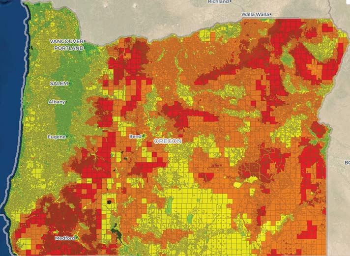
Created by ODF and Oregon State University (OSU), the Oregon Wildfire Risk map was part of a state push to protect Oregonians against wildfires. The map showed the wildfire risk of approximately two million tax lots across the state, categorizing them in five categories from no to extreme risk. About 80,000 property owners were found to be in high or extreme risk areas and received notices from ODF telling them that they could be subject to fire-resistant building codes currently under development.
Since the area fires several years ago, it has become increasingly difficult for people in more remote areas of southern Oregon to get insurance coverage. Insurers have become more cautious and more aggressive in assigning fire risk scores. The map could potentially add to an already difficult insurance situation.
ODF has also withdrawn notices they sent to people in high and extreme risk areas and plans to begin working with OSU on some refinements to improve the accuracy of risk classification assignments.
Of the two million tax lots assessed, about 120,000 were in what’s called the wildland-urban interface—an area where wild vegetation transitions into areas with more human activity. About 80,000 people were found to be in the wildland-urban interface and at high or extreme wildfire risk. But the state also classified other areas as high or extreme risk that were not in the interface.
Property owners were able to appeal their classification. Since the map is being withdrawn, the current appeals process is being shut down. ODF and OSU will refine the map and bring an updated draft to communities for discussion and input. After that, it will be finalized, and new notices will go out to property owners in the extreme and high risk areas.
Here are the primary things you need to know:
- ODF decided to remove the current iteration of the wildfire risk map and withdraw the risk classification notices sent
- ODF will begin working with OSU on improvements to the accuracy of risk classifications based on what they’ve heard from property owners to date
- The current appeals process will end, and any new appeals filed based on the risk classifications of the current iteration of the map will not be considered; and
- Code development and adoption processes currently underway for defensible space and home hardening regulations will continue as planned
Because the current version of the map is being withdrawn, any new appeals filed based on the current risk classification will technically not be considered. After a final version of the map is released, property owners will have a new 60-day appeal period.
If you believe your property’s risk was classified incorrectly under the current version of the map, you may want to consider sending feedback to ODF. You would want to describe the reason your property was incorrectly classified and any data that supports your argument and send to: Sb762.RULEMAKING@odf.oregon.gov.
 Sandy J. Brown lives in Jacksonville and is a real estate broker and land use planner with Windermere Van Vleet Jacksonville. She can be reached at sandyjbrown@windermere.com or 831-588-8204.