What’s new in the Jacksonville Forest Park?
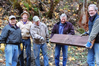
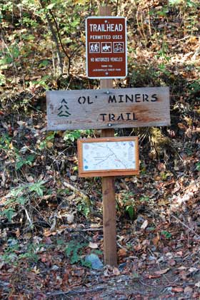
Exciting new things are happening in the Forest Park. Buoyed by an Oregon Parks and Recreation Local Government grant, the Jacksonville Park Rangers and other volunteers are hard at work on a major expansion of the Park, building new trails, bridges, kiosks, interpretive panels, and a replica historic railroad bridge. The plan is to add five new miles of trails to the Park, bringing the total trails miles to fourteen. All of the old and new trails can be found on the maps available at the Park entrance kiosk, with a big mounted map to see everything in detail. With two trail building teams at work, some new and very different trails are being built. Keeping in mind the three things hikers want most are Running Water Streams, Views, and Trail Loops, the new trails contain all three. The just- completed new Canyon Falls Trail features a creek side trail that hugs the creek with many spectacular waterfalls and lush foliage. This gives the visitor a trail experience being in a forested area much like the ones found in the wetter areas of Oregon.
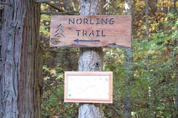
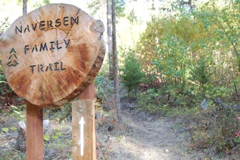
This is a major trail head intersection of the Canyon Falls, Jackson Creek, Ridge View, and Naversen Family Trails, located on Norling Road just up from the junction with Reservoir Road. The Canyon Falls Trail follows Jackson and Norling Creeks in the bottom of these beautiful canyons. Jackson Creek Trail also takes the hiker right alongside Jackson Creek, while climbing higher into Jackson Creek Canyon. One-half mile up the canyon it will connect to two new trails, one that goes around the mountain to the north to connect to the Naversen Family Trail and the upper Granite Trail with views from the higher elevations. The other new trail goes over the mountain to the south and connects to the upper end of the Canyon Falls Trail. Completion date for these last two trails is expected in November. The Canyon Falls and Jackson Creek Trails are open now. The combination of these new trails plus the existing Naversen Family and Granite Trails gives the trail user trail loops of over four miles using either the Naversen Family Trail or the Granite Trail to come back to the Canyon Falls Trail Head Area.
This area has trail heads for the Ridge View, Naversen Family, and Granite trails. It is located on Reservoir Road just above the junction with Norling Road at the old Red Rocks decomposed granite quarry. Located nearby is an old underground gold mine with year-round water flow, plus a section of the old wood pipeline that carried water to Jacksonville and a big bridge. These historical features and the trail heads are located within a few feet of a large parking lot. Another great spot to start your hike is to take the Ridge View Trail or the Granite Trail to make a big hiking loop, or just enjoy the spectacular views from the ridge of the Naversen Family Trail or the upper Granite Trail.
This is a great starter trail that’s easy to walk. Its lower trail head is right across from the upper end of the Rail Trail – near the top of the trail, hikers will find the beginning lower end of the Canyon Falls Trail, and the two small dams that collected water from Jackson and Cantrall Creeks and sent it down to Jacksonville via a wood pipeline.
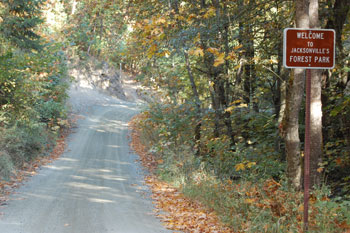
The Forest Park is part of the Jacksonville City park system. It is easy to find, very close to Jacksonville. From downtown Jacksonville, take highway 238 west for three-fourths of a mile and turn right on Reservoir Road for one mile to the Park entrance and the kiosk where you’ll find trail maps for the Park. On behalf of the Park Rangers, “Come enjoy the Forest Park!”


Would love to be able to access a pdf with a map of the trails in Forest Park. Does such a thing exist? It should if there are maps of the trails at the trailheads.
Thanks.
The Review is researching your request – stand by!
Hi – so far it seems like there are TOPO maps on the city website – the Forest Park Committee is looking at getting user-friendly maps posted online. Here is the link: http://www.jacksonvilleor.us/?page_id=14