On Real Estate & More – October 2020
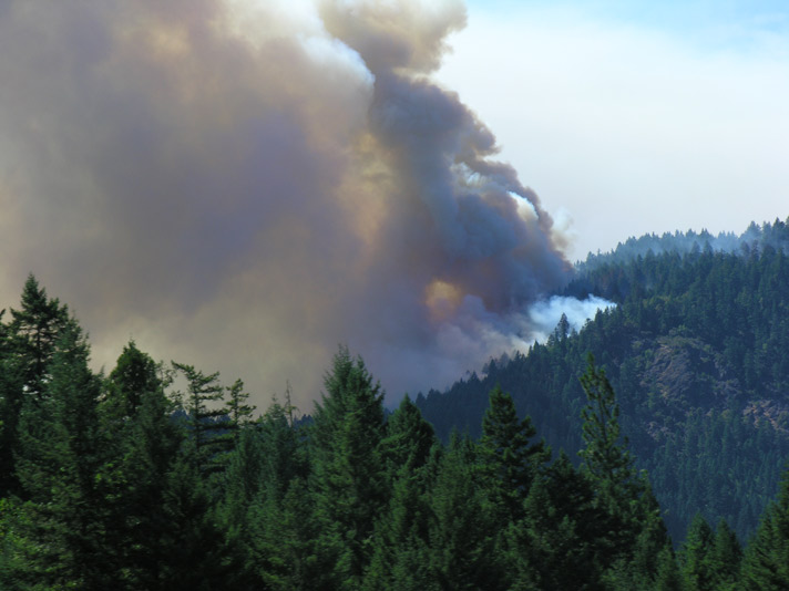
With all of the fires that have devastated our community recently, fire safety is at the forefront of many property owner’s minds. The increase in population over the last century has pushed much of the growth into what used to be forest and grasslands. This trend has created a complex landscape that is known as the “wildland/urban interface.” The combination of ample fuel, dry climate and either lightening or man-made-caused combustion means wildfires will occur annually and pose a threat to many Oregon communities. People living in Oregon are more vulnerable to wildfires than in the past because more homes are located in and near forests or other types of flammable vegetation.
In Jackson County, these fire-vulnerable areas are identified on the County Planning Division’s “Hazardous Wildfire Area Map.” Within these areas, all new structures or additions to existing structures (except for minor exemptions allowed) are required to comply with Chapter 8.7, “Wildfire Safety Requirements.” Compliance with the standards is verified through a Fire Safety Inspection that is coordinated through Jackson County Planning Division and is required prior to issuance of building permits. Several of the primary fire-related issues addressed in Chapter 8.7 include the following:
- Fuel Breaks: A 100-foot minimum fuel break must be created and maintained around all new structures/additions. This includes a 50-foot primary fuel break and a 50-foot secondary fuel break around the primary fuel break. The primary fuel break should remove fuels that will produce flame lengths in excess of one foot. Trees should be spaced at least 15 feet apart and should be pruned to remove dead and low branches, as well as maintain an adequate distance from the roof. Dead fuels must be removed and flammable groundcover materials (e.g., bark mulch) may not be used in landscaping within 12 inches of buildings. Firewood piles, slash piles, and woodsheds need to be placed at least 30 feet from all structures.
- Secondary Fuel Break: The secondary fuel break should reduce the likelihood of a crown fire and lessen the overall intensity of a wildfire. Trees should be adequately spaced and small trees, brush, and dead fuels should be removed. Understory vegetation may include grass or groundcover less than 12 inches in height and low fuel volume, fire resistant shrubs (see Jackson County’s User’s Guide for drought and fire resistant landscape materials). An additional 50 feet, for a total of 100 feet, will be added to the secondary fuelbreak when the natural slope of the area within 100 feet of the proposed structure exceeds 20 percent—to be added to the area below and to each side of the proposed structure.
- Roof Coverings: All structures will have Class A or B roofing depending on the type of structure. Wood roofing of any type, including pressure-treated wood shingle or shakes is not allowed.
- Access: Fire safety access is required to be constructed to the applicable design standards, which requires a minimum of a 22 foot wide fuelbreak, which includes the driving surface, access that can support a fire truck, and a minimum vertical clearance.
- Chimneys: All chimneys are required to have a spark arrestor.
- Address signs: Address signs will be posted to be visible from both directions on the roadway providing the access.
For additional questions on fire-vulnerable areas within Jackson County, contact the Jackson County Development Services Department.
In the City of Jacksonville, the fire-vulnerable areas are identified as an Urban/Wildland Interface, an overlay district whose requirements are described in Chapter 17.40 of the Jacksonville Zoning Code. This overlay is typically located in the peripheral areas of the City. Typically, the interface is an area where residential development comes into contact with natural vegetation that can add to the rapid spread of a fire and increased fuels. Some of the fire-related issues addressed by the Urban/Wildland district include the requirement for two-street access, the use of low combustion construction materials, and the creation of fuel breaks, driveway length, grade, and design, and filing of fire-safety plans. For additional questions on fire-vulnerable areas within Jacksonville, contact the Jacksonville Planning Department.
The National Firewise Communities Program (Firewise) is a national program that encourages partnerships among communities, homeowners, private industry, and public agencies and officials to develop and implement local solutions for wildfire preparedness—before a fire ever starts. The Firewise program offers a series of steps that residents can take to improve the safety and resilience of their homes and landscapes to withstand a wildfire. When a neighborhood is prepared, firefighters can focus more of their resources on the main body of the fire—as opposed to individual structures.
There are already many Firewise neighborhoods in Jackson County including in the City of Jacksonville, but you do not have to live in the city to participate; the program is designed for everyone. Grants are available to assist eligible homeowners with cleanup around their homes. Contact the Oregon Department of Forestry at 541-664-6674 or your local fire district to let them know you are interested in becoming a Firewise community.
 Sandy J. Brown lives in Jacksonville and is a real estate broker and land use planner with Windermere Van Vleet Jacksonville. She can be reached at sandyjbrown@windermere.com or 831-588-8204.